
Walk your city.Own every street.
StreetVenture maps every walk, run, and ride against the streets of your city, and lights them up as you cover them. Streaks, levels, quests, badges, and a social feed for the friends who'll try to out-walk you.


The core loop
Walk. Cover. Level up.
Hit Record, walk somewhere, watch your city fill in. Every street you touch becomes yours. Streaks reward consistency; XP rewards distance.
Walk
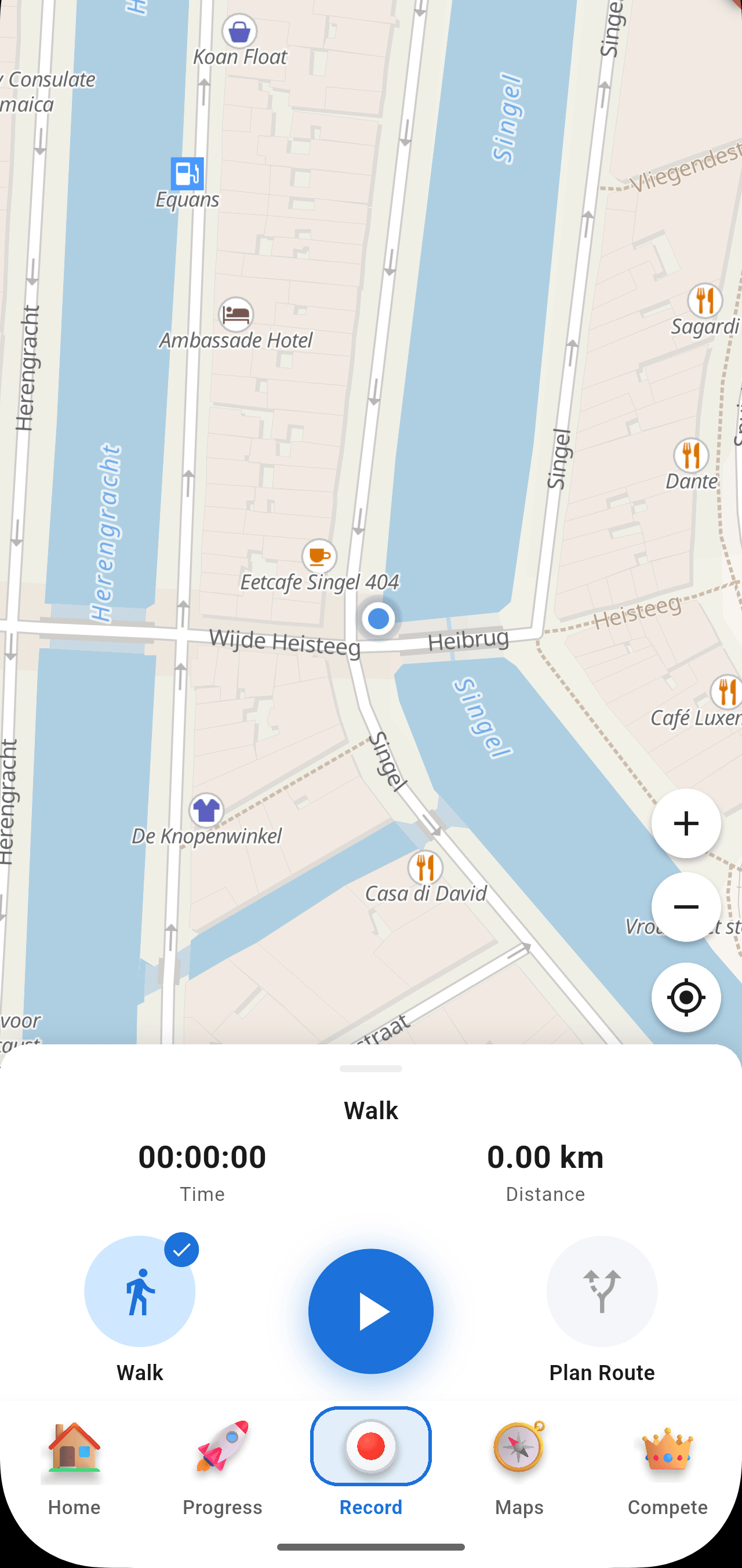
Hit Record. We snap your GPS to the street network and credit every meter.
Cover
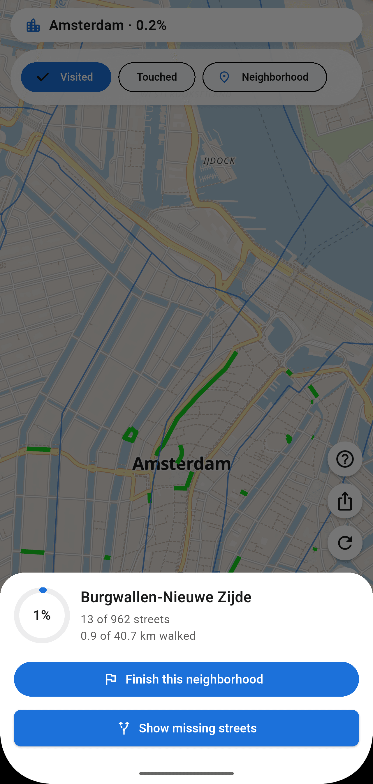
Streets you've walked turn blue. Your personal map of the city, filling in.
Level up
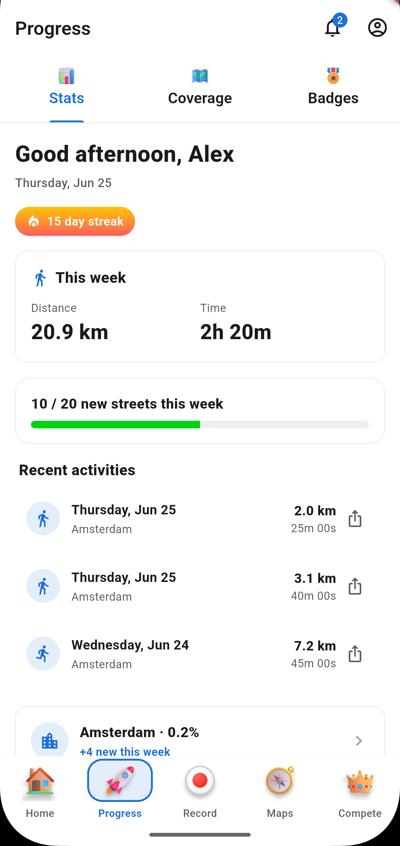
Distance becomes XP. Consistency becomes streaks. Every walk moves the bar.
Coverage
See your city light up blue.
Every street you walk turns blue on your personal map. Neighborhoods unlock as you complete them. See the gaps you haven't explored — and plan tomorrow's walk around them.
Central Station
54.2%
+0 XP
Compete
Quests, challenges, leaderboards, expeditions.
Quests give you weekly missions to chase. Challenges put your distance against friends. Boards rank the city. Expeditions string streets into themed routes — historical walks, hidden parks, the spine of a neighborhood.
Tailored Quests
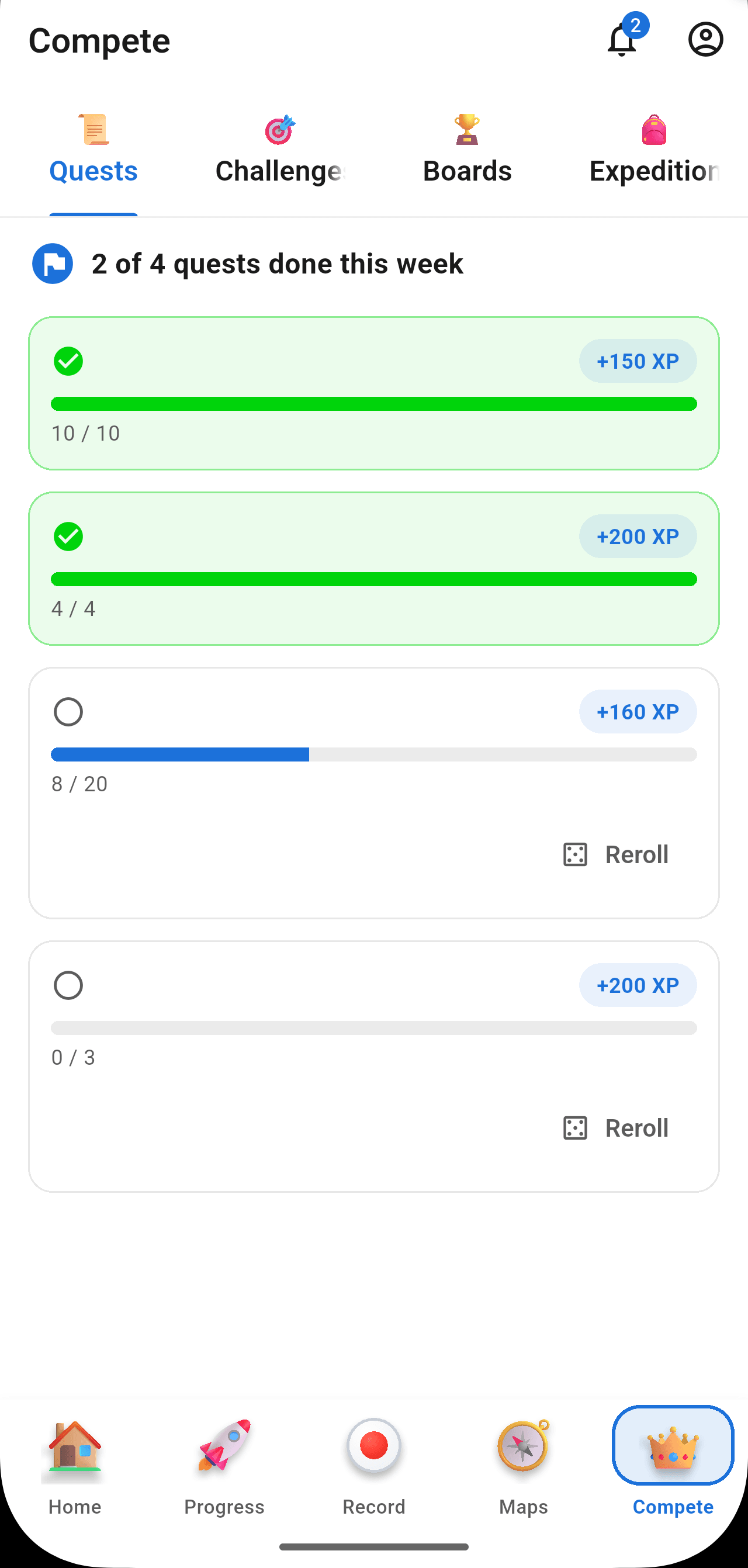
Every Monday you get four fresh quests picked from streets you haven't walked yet — a couple of warm-ups and a couple that push you. Reroll any you don't like automatically.
- Cover 15 streets in Amsterdam Centrum (+150 XP)
- Close a neighborhood at 70%+ completed (+200 XP)
- Walk 10 kilometers this week (+180 XP)
Versus Challenges
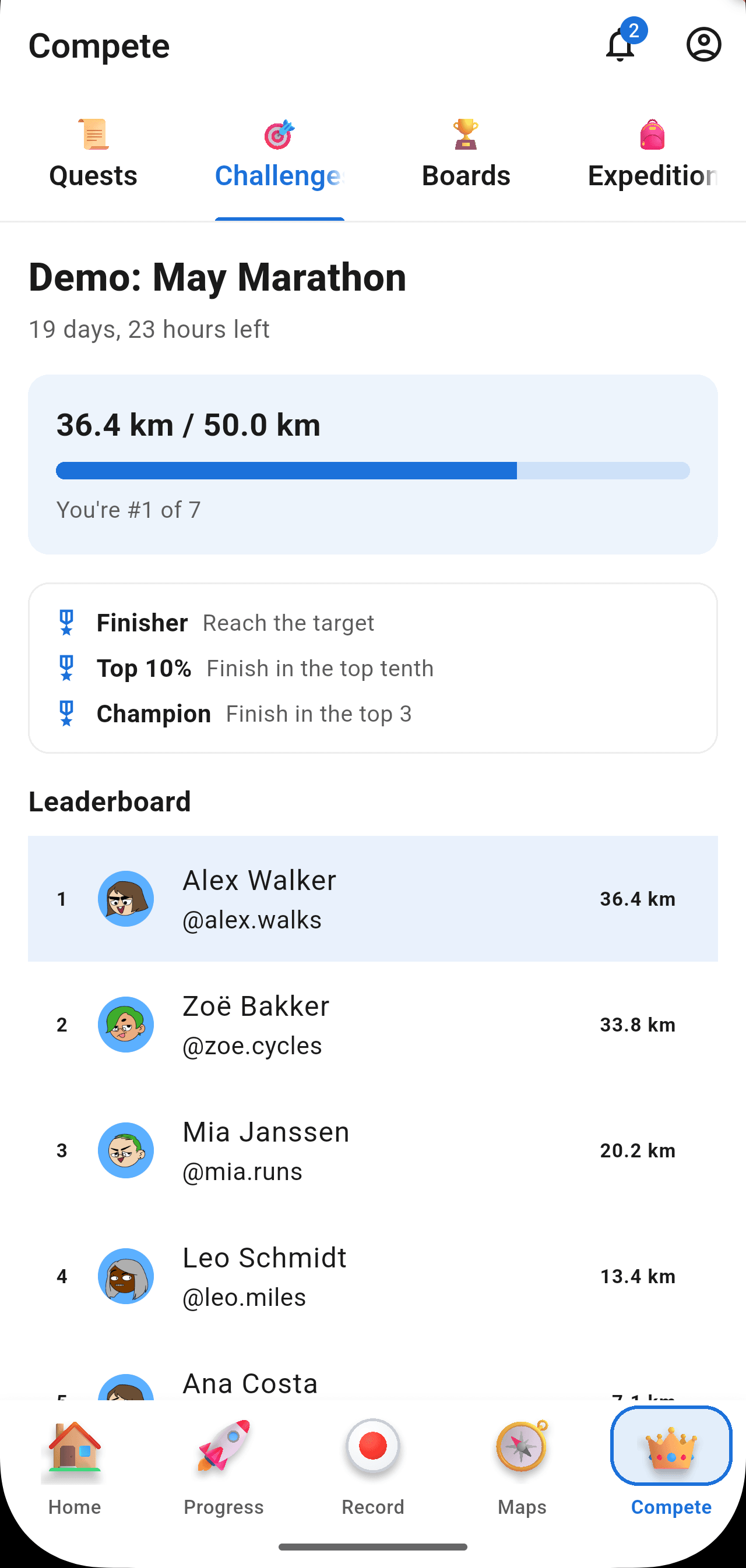
Invite a friend to a distance duel — most kilometers over 7 or 30 days wins. Or join one of the seasonal city-wide events where everyone is racing the same target.
Distance
36.4 km
Distance
34.1 km
Interactive Leaderboards
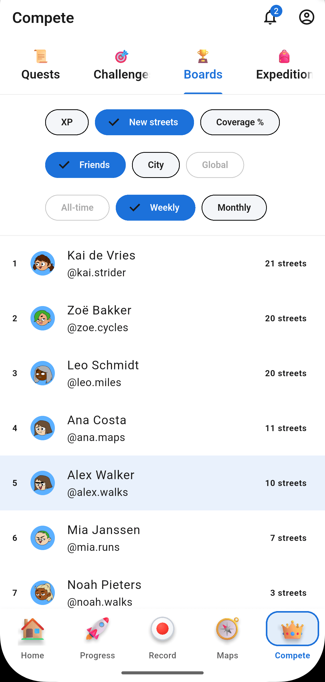
Switch scopes instantly between friends, city, and global lists across weekly or monthly intervals. Your rank always stays pinned at the top so you know exactly where you stand.
Themed Expeditions
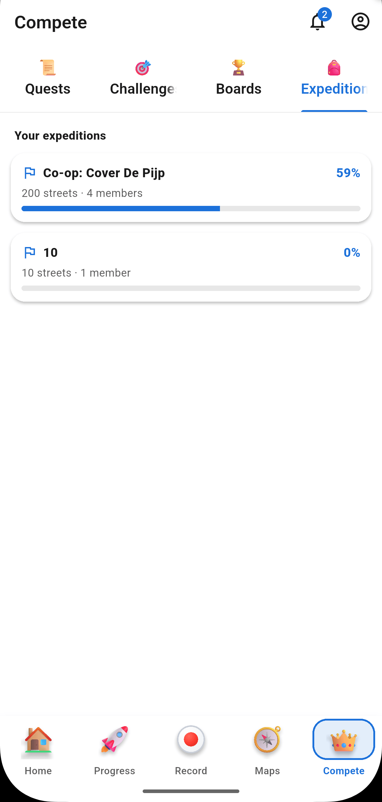
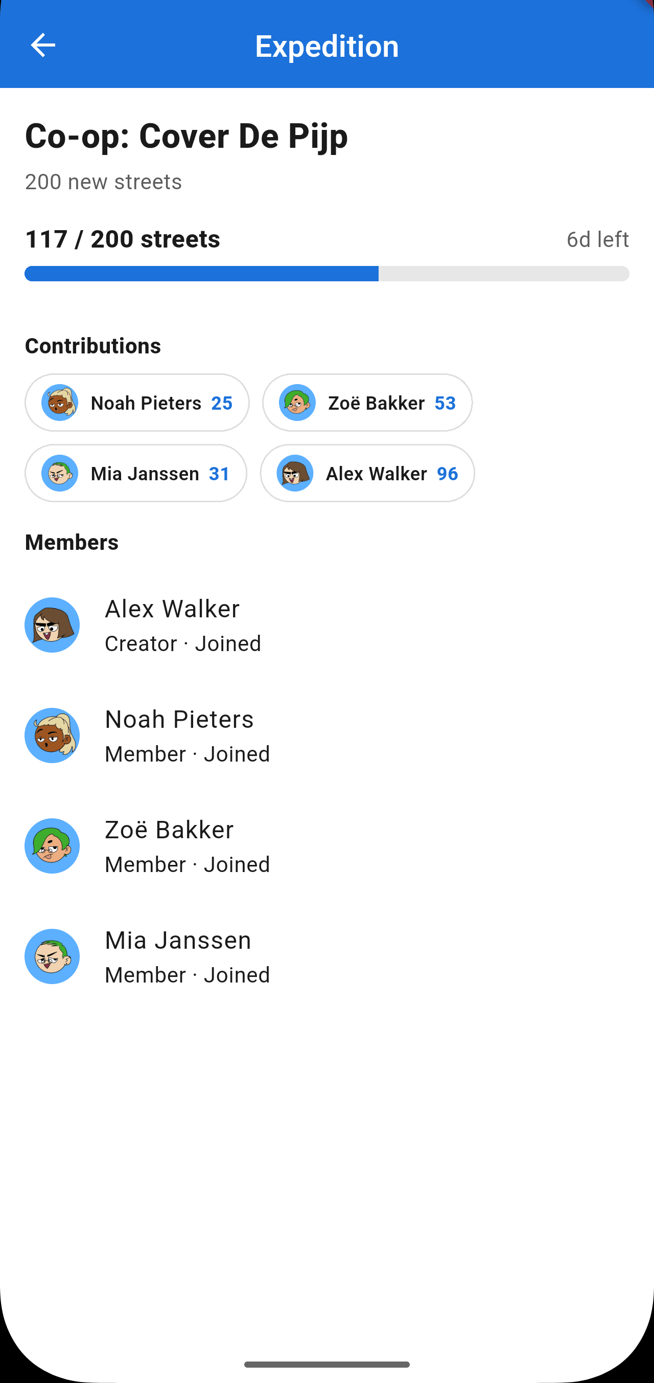
Curated multi-street routes with a story — the 17th-century canal ring, hidden parks, or art walks. Pick an expedition and share the join code to progress together with a crew.
Progress
Track every kilometer, every badge, every percent.
Stats for what you covered this week, this month, all-time. Coverage for the city and each neighborhood. Badges for the milestones — bronze, silver, gold, platinum. Streaks for the days you keep showing up.
Stats
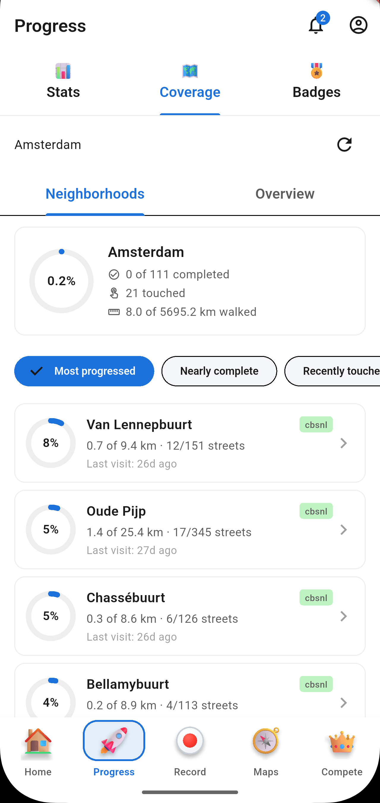
Coverage
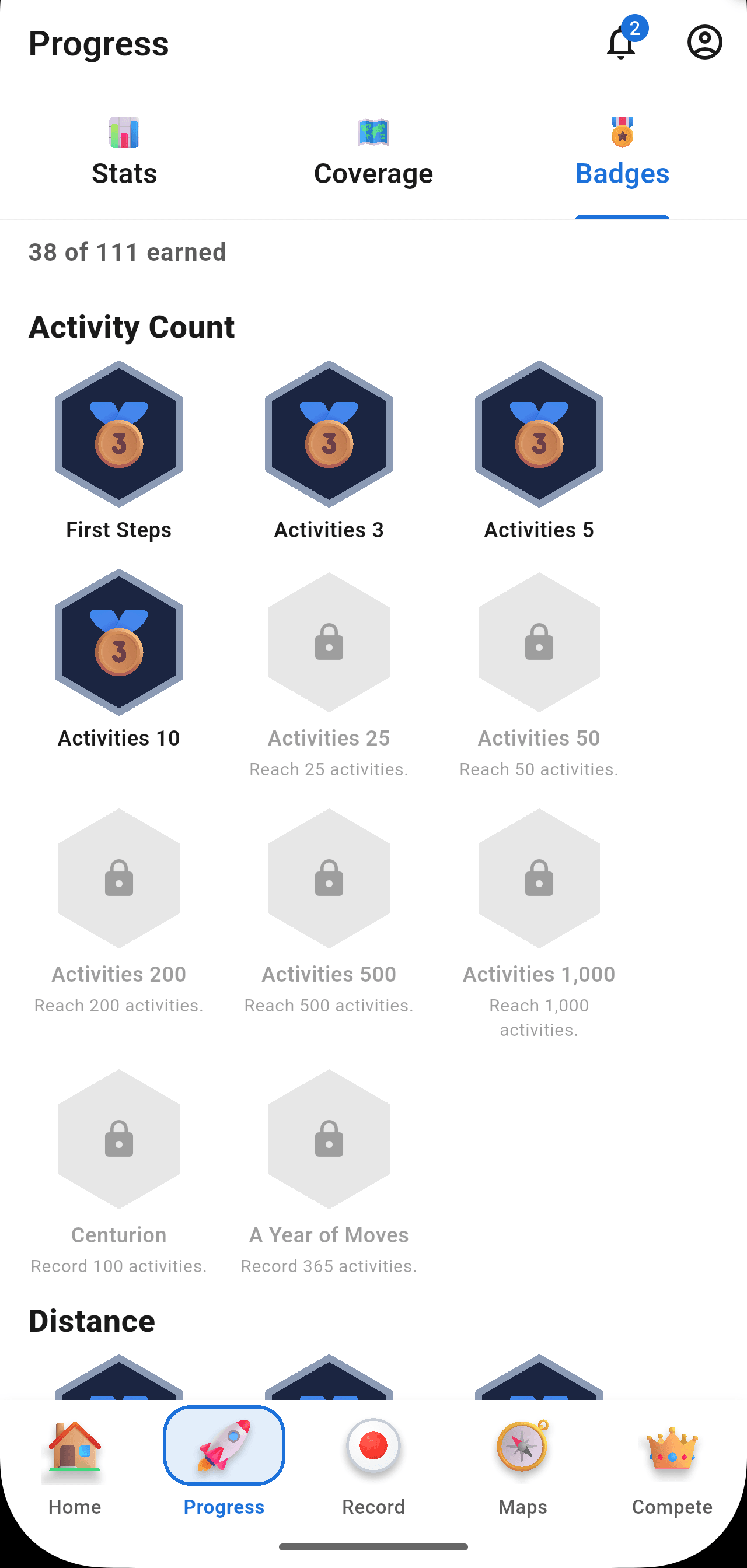
Badges
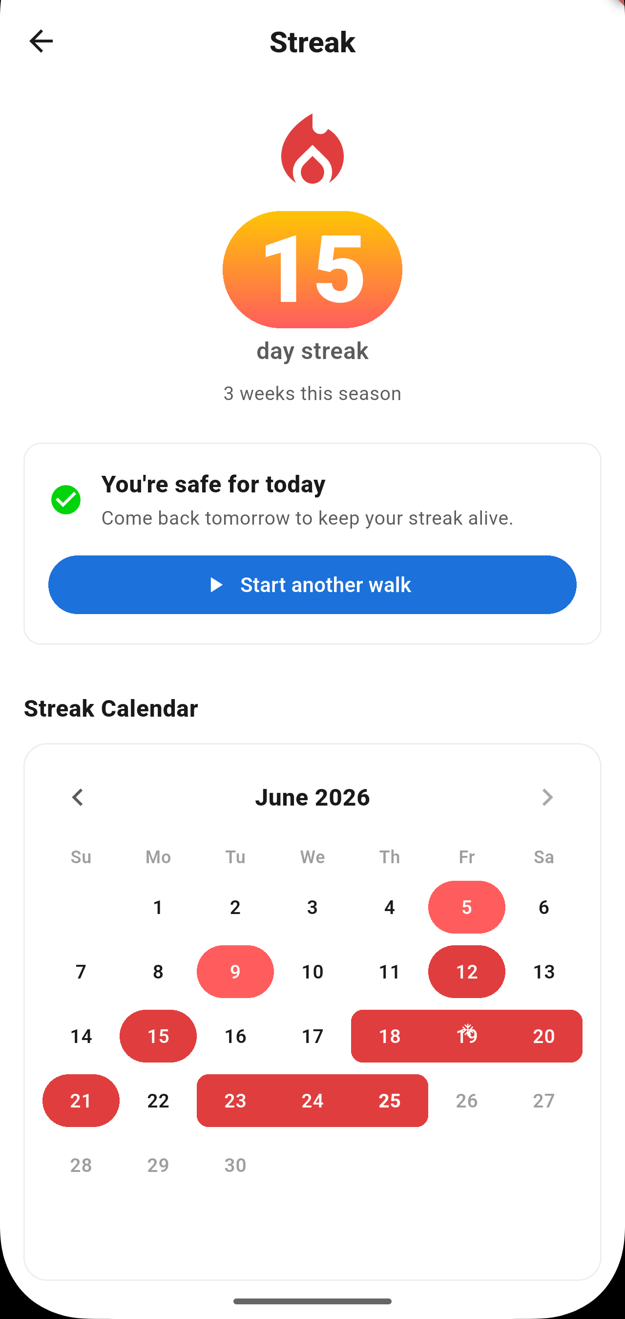
Streaks
Plan & Record
Plan a route. Then go walk it.
Sketch a route over the streets you haven't covered yet, preview the distance, then hit Record and start walking. Map-matched against OpenStreetMap so the streets you actually walked are the ones that count.
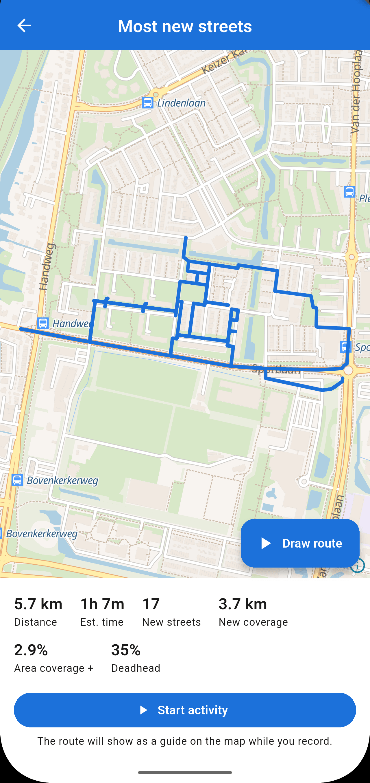
Draw your route
Sketch a path over streets you haven't covered yet.
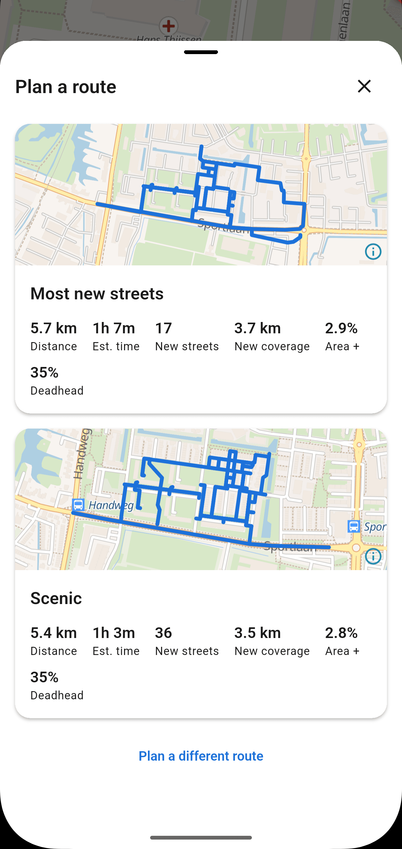
Preview the distance
Check the length and turns before you set off.
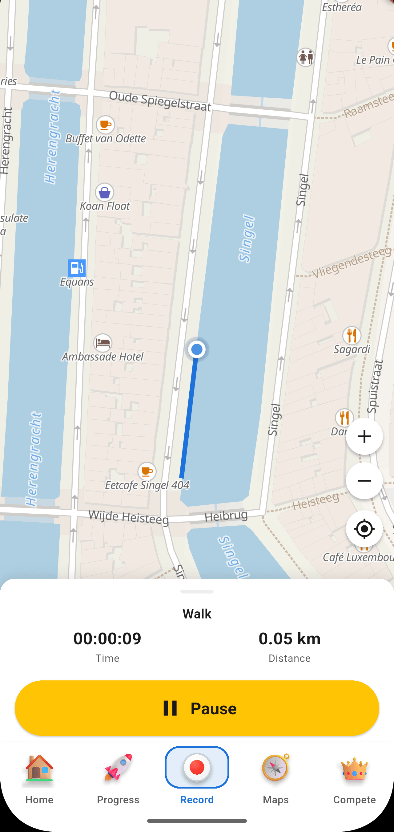
Record live
Hit Record and walk it — GPS map-matched as you go.
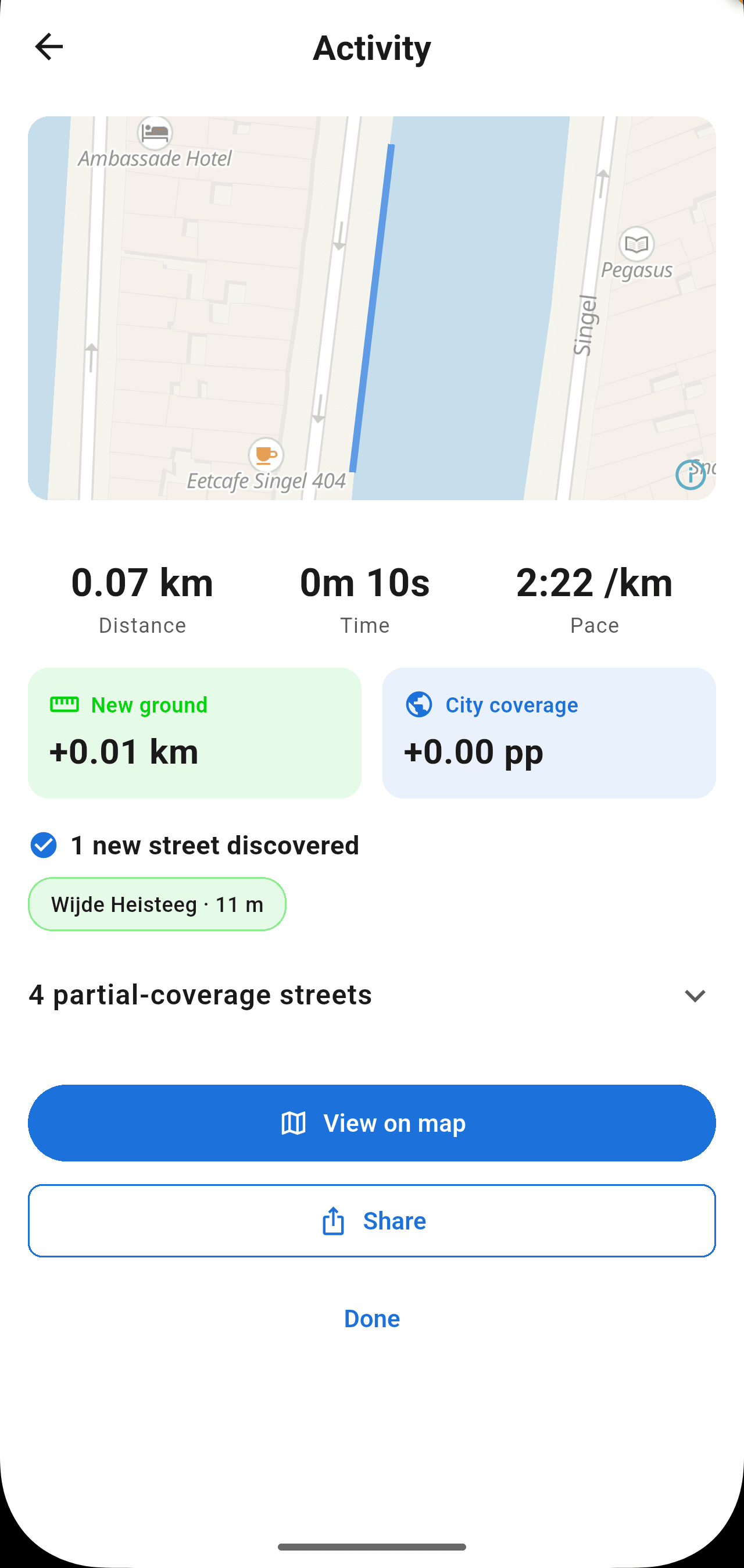
See your results
Distance, XP, and the new streets you just claimed.
Feed & Expeditions
Your friends are walking too.
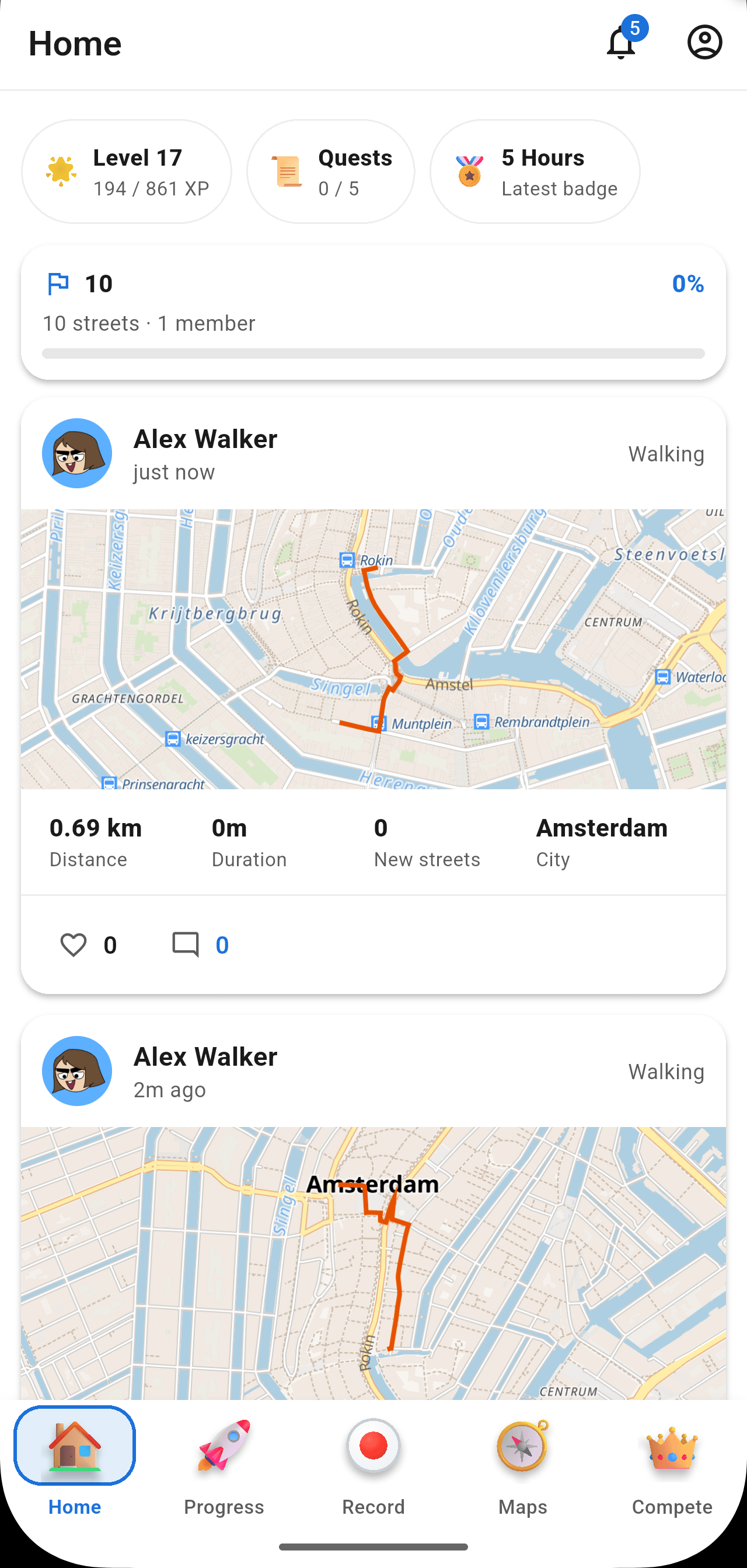
A social feed of your friends' walks, with the routes they took. Expeditions you can take on together. Less Strava-grade leaderboards, more Pokemon-Go-with-streets.
Coverage
Live in 87+ cities across Europe. US coming soon.
Benelux, DACH, UK & Ireland, France, and Iberia are live today. The US East and West coasts are next — the data pipeline for them is queued up.
DACH
Germany · Austria · Switzerland
UK & Ireland
United Kingdom · Ireland
France
Metropolitan regions
Iberia
Spain · Portugal
Benelux
Netherlands · Belgium · Luxembourg
Built on real data
Real cities. Real streets. Real coverage.
StreetVenture matches your GPS to the actual OpenStreetMap street network — not a rough heatmap. Every street you cover is a real, named street on a real map.
FAQ
Questions, answered.
Is StreetVenture free?
Yes — StreetVenture is free to download and play. Walk, cover streets, earn XP, and climb the boards at no cost.
Which cities can I play in?
30+ cities across Europe today — the Benelux, DACH (Germany / Austria / Switzerland), UK & Ireland, France, and Iberia. US East and West coasts are next.
How does street coverage work?
When you record a walk, run, or ride, we map-match your GPS to the real OpenStreetMap street network. The streets you actually travelled light up blue on your personal city map.
Which activities count?
Walking, running, and cycling all count toward coverage. Distance becomes XP, and consistency builds your streak.
Can I import past activities?
Yes — import GPX, TCX, or a Strava export (including .zip archives) and StreetVenture will credit the streets you've already covered.
What about my location data?
Your activity and location data is used to compute your coverage and stats. See our Privacy Policy for exactly what's collected and how it's handled.
Get started
Built for the friends who'll try to out-walk you.
Download StreetVenture and start lighting up your city.